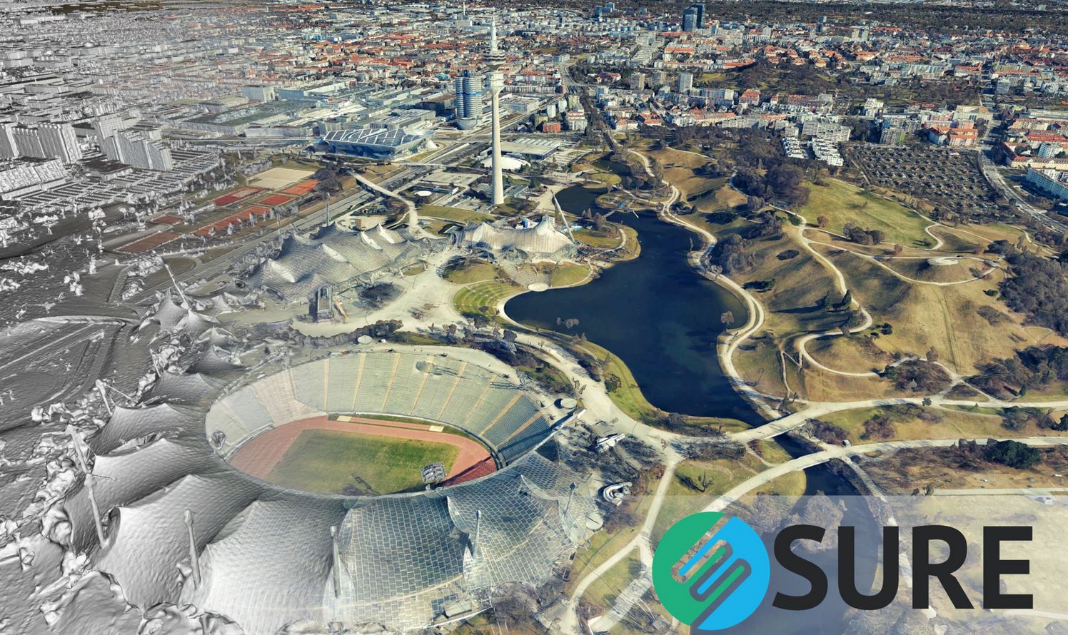
What is new in nFrames SURE aerial version 4.0:
- Out-of-the-box Distributed Processing – connect computers easily and scale production
- Optimized True Ortho Engine – sharper edges and improved completeness in DSM & True Ortho
- New 3D Mesh Engine – drastically improved geometry and web streaming performance (Cesium, slpk)
- New LiDAR Engine – data fusion for more accuracy and completeness
- Improved support for a wide range of flight configurations – more robustness, better geometry for mixed flights and complex acquisition patterns
- Global color balancing – equalizing color across datasets captured with varying light conditions
- Third Party Compatibility – added support of HxMap orientation, I3S (SLPK) and Supermap iDesktop
- User Experience – New output folder structure and simplification of parameters
- Runtime and Storage – less runtime and storage needed
SURE Aerial is specifically designed for large aerial image datasets – captured with large frame nadir cameras, oblique cameras or hybrid systems with additional LiDAR sensors.
Without limitation in image resolution, it empowers the production of 3D Meshes, True Orthophotos, Point Clouds and Digital Surface Models on common workstation hardware or up to cluster environments. Simple to setup and to operate while being perfectly connected by interfaces such as various Aerotriangulation import options, shapefile definitions or output formats – compliant to mapping industry standards and ready for web streaming technologies.

Image courtesy of GeoFly GmbH & nFrames
